AUB History
AUBinTime
About the Project
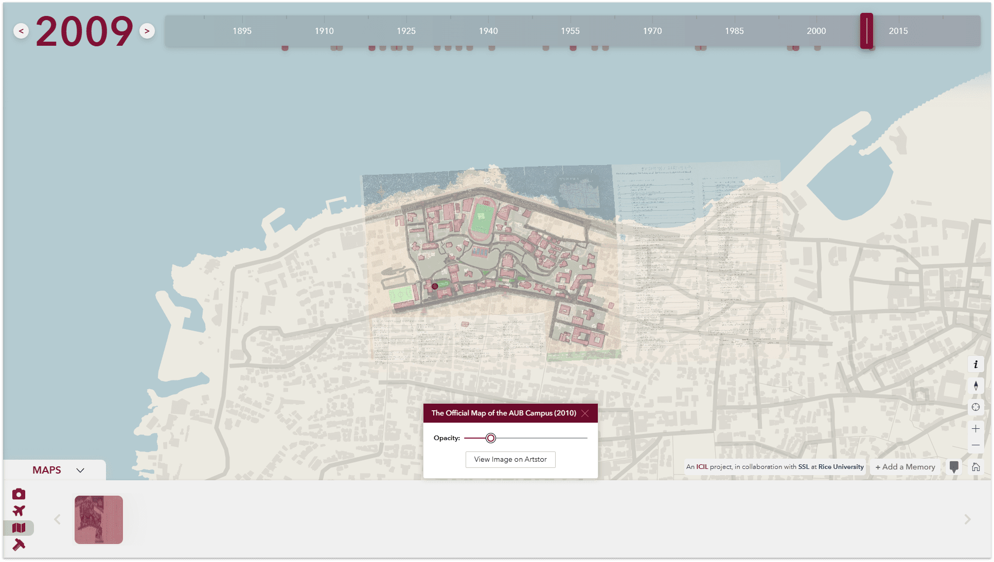
AUB in Time is a web-based geospatial platform documenting the diachronic development of the American University of Beirut campus from its establishment in 1866 to projected conditions in 2030. The platform is built on a Web GIS framework that integrates heterogeneous georeferenced datasets within an interactive temporal interface, enabling the visualization and analysis of long-term transformations across the built environment, landscape, and spatial organization of the campus. The corpus of spatial data brought together includes historical maps, architectural plans, aerial photography, and archival imagery, each georeferenced and structured to support analysis across multiple temporal scales.
Through the aggregation of cartographic, photographic, and archival records, the platform facilitates the examination of campus expansion, architectural evolution, landscape modification, and infrastructural development as continuous and interrelated spatial processes. The temporal interface allows users to move across distinct periods, comparing conditions, tracing patterns of change, and situating individual transformations within the longer trajectory of the campus's development. The long-term preservation, cataloguing, and accessibility of archival materials are supported through ARTSTOR, ensuring their continued stewardship and integration within the platform.
A complementary layer of user-generated content, including photographs, personal narratives, and recollections, is incorporated as qualitative data alongside the institutional record. This layer situates the campus's spatial and architectural history within broader social and cultural contexts, extending the platform's scope from documentation into the study of collective memory. Students, alumni, researchers, urban planners, and the general public can engage with the platform both as users and as contributors, producing a resource that accumulates institutional and community knowledge simultaneously.
As a spatial humanities resource, AUBinTime provides a framework for investigating the historical processes that have shaped the campus over more than 150 years. Its significance extends beyond documentation, supporting research at the intersection of architecture, landscape, institutional history, and collective memory while enabling new forms of spatial and temporal analysis of the university's evolving environment.